
The 2020 census shows population changes that trigger changes to electoral districts. We’re tracking these changes and updating our data accordingly.
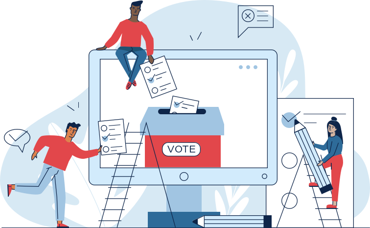
Redistricting 101
-
Redistricting is the process of drawing or adjusting the lines of legislative districts from which public officials are elected. Everyone living in the United States lives in a congressional district. This is how our representatives in the U.S. House of Representatives, all the way down to our state legislatures and local offices, are elected.
Following the Decennial Census of Population and Housing, when the U.S. Census Bureau releases new population numbers for all 50 states, seats in the U.S. House are allocated accordingly. This means that some states may gain seats, others may lose seats, and some may keep the same number of seats.
In the past, as far back as America’s colonial period, most districts were defined by the borders of towns and/or counties, or groups of towns and counties; legislatures were then formed by assigning certain numbers of representatives to these districts. As America’s population increased, growth happened unequally, with some towns and counties growing much larger than others.
Some jurisdictions maintained proportional representation, by reapportioning the number of representatives assigned to each district, or by adapting their district lines; others did not. Some districts were kept the same in spite of population changes because of a philosophical belief that representation should be based on the number of counties rather than the populations they contained. Other districts were kept the same due to political advantage or neglect. For example, from 1901 to 1961, the Tennessee state legislature disregarded a state constitutional requirement to redesign and reapportion voting districts. It wasn’t until Baker v. Carr in 1962 that the situation was remedied.
-
It’s simple: to ensure fair representation in Congress and state legislatures. In a series of cases in the mid-1960s, the Supreme Court decided that the population disparities present across the country (in, for example, California) violated the United States Constitution. The U.S. Constitution requires congressional seats in the U.S. House of Representatives to be apportioned to all states on the basis of each state’s population (unlike the Senate, in which every state is apportioned two seats each). In order to do this, one has to know how many people live in each state. This information has to be updated regularly, as population changes occur. This is why Article I of the Constitution requires that a census be conducted every 10 years.
-
Redistricting is vital for the execution of fair and equitable elections. Fair redistricting helps to prevent representational mismatch and ensure proportional representation for constituents; it stops politicians from manipulating election maps in order to box their competition out of certain districts to maximize their political power; and it helps to prevent policy outcome mismatches, which ultimately impacts the health of democracy at a state level.
Redistricting is just as important as casting a ballot. It’s an important piece of the puzzle that is our democratic system. Arming yourself with the knowledge of what redistricting is, how it works, and why you should care, is the first step in getting involved in the process. Other ways to get involved include staying informed of plans to redraw district lines at the federal, state, and local level; attending meetings in your area where district plans are evaluated; contacting your elected officials to either support or oppose redistricting plans; and contacting organizations that can review and evaluate proposed plans and potentially offer alternatives. Actively participating in redistricting helps to make it the fair and equitable process it is meant to be.
How BallotReady's database is adapting to redistricting changes
-
The 2020 census shows population changes that trigger changes to electoral districts. For example, states with proportionately high population growth might get more congressional seats, and states with lower growth or population shrinkage might see fewer congressional seats. Congressional districts therefore might get completely renumbered or just partially renumbered.
Currently our interfaces use the 2010 census data to use users’ addresses to determine their applicable districts, so we can direct them to the right candidates, election information, and office holder records. And our APIs power tools built by other organizations to do the same.
Though we don’t know exactly what the new geographic boundaries will look like, we do know that we’re likely to receive information on a rolling basis and there will be appeals to change. Timelines will vary at different levels of government within a single state. Even within a geographic area, timelines for new segments within those overlapping areas are likely to vary.
Here’s how changes will affect our products and what we’ll need to account for as we plan for these changes:
-
Our tier election coverage is based on census population counts.For example, cities that cross a population threshold of 50,000 may move from tier 4 to tier 3, or vice versa..
We also use population count information to scope requests for data we haven’t gathered yet.
Population counts are already available, so researchers can gather this data right away.
We don’t currently cover all townships, but we may want to in the future, and this might be a good time to gather this information as we’re doing this research
We can use the new census “tracts” to extrapolate boundaries for electoral areas that don’t currently have boundaries available, like special districts and school boards. This could be a lot of work and isn’t totally critical, but is an opportunity we could take advantage of.
-
Our office holders data includes current office holders who represent 2010 census drawn areas. For as long as those people hold office, we’ll need to continue to show them representing that area
Our recruitment data will need to match people to the geographic boundaries of the positions they want to run for for the next election. We’ll need this information available to them and accurate at least 1 month prior to the end of a filing period for a 2022 election, so that they can file correctly.
We also want to ensure that the 2010 census boundaries and 2020 census boundaries don’t interfere with one another in the user interface or API
These changes to geographic boundaries will come in on all kinds of timelines - federal and state level as well as counties, cities, school boards, and special districts. In order to know how this will affect the end user and customers we’ll need some kind of idea of when we’re likely to get what data, which is itself a research project
New cities have been incorporated since the 2010 census, and (less likely) some cities may have been dissolved, annexed since the 2010 census.
-
Changes to population counts and geographic areas can mean changes to positions, for example new numbering of congressional districts as some positions get retired and new ones are created.
We’ll need to see where those things are happening and when so that we can do the right research.
We’ll also need to match positions to new geographic boundaries anywhere that positions stay the same, but now represent new areas
State Redistricting Status Tracker
Stay up to date with redistricting changes and deadlines in all 50 states. Then assist voters in their new districts with a custom Ballot Engine.